AquaBiota performed bathymetric mapping of Lake Bastusjön in Nacka for COWI.
In 2015, AquaBiota performed bathymetric mapping of Lake Bastusjön in Nacka for COWI as a part of an environmental impact assessment (EIA). The aim was to provide information about the depth levels of the lake bottom along a water conduit. The entire lake bottom was mapped using sonar from a small vessel and a digital bathymetric chart was created.
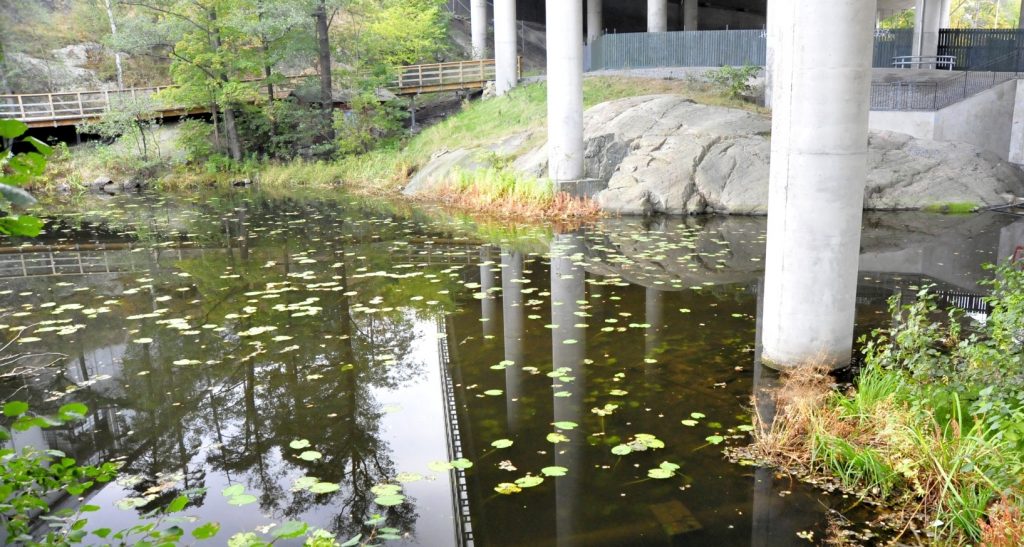
The south end of the lake Bastusjön, by the Värmdöleden highway.
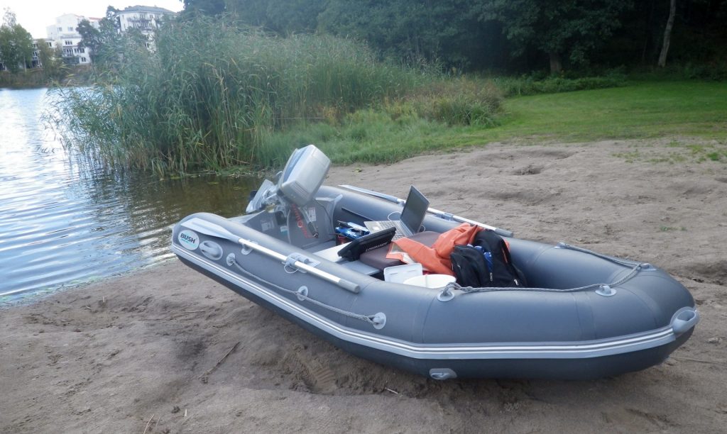
En small boat was used for the task.