AquaBiota performed detailed mapping of benthic vegetation, infauna, whitefish HUB biotopes in Västerbotten County. The maps were used to create a conservation value map of the entire county.

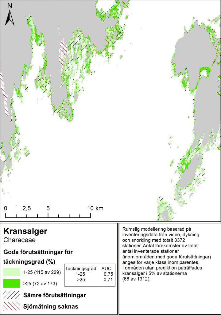
Modelled map of Charophytes.
AquaBiota mapped benthic marine conservation values in the entire Västerbotten County for the Swedish Agency for Marine and Water Management. In the work, which was performed in 2016 and 2017 maps were created for benthic species, whitefish, HUB-biotopes and conservation values using spatial modelling.
The mapping, which was performed in 10 m resolution, used large amounts of biological field data, both from earlier surveys and from surveys with drop video and small Van-Veen grab that were performed within this project during the summer 2016 in order to complete existing biological field data for this purpose.
Abiotic maps of environmental variables that were needed in the modelling work were also compiled and adjusted. All modelled maps were validated with independent data, which was not included in the modelling. The HUB maps were also verified in field during the summer 2017.
The mapping work resulted in comprehensive maps of benthic species, whifefish, HUB biotopes and conservation values in Västerbotten County. Since such maps had not been created on this scale earlier, the project resulted in a new detailed picture of benthic conservation values in the county.
Report (in Swedish): Florén, K., Wijkmark, N., Fyhr, F., Beltrán, J., Tano, S., Enhus, C. 2018: Kartering av marina naturvärden i Västerbottens län. Havs- och vattenmyndighetens rapport 2018:26.